
1894 Map of Nevada
USGS Topo · Published 1894About this map
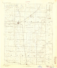
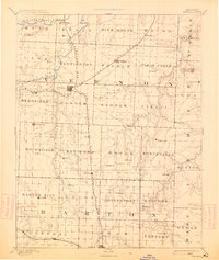
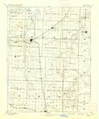
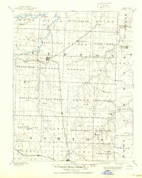
Nevada serves as the central hub of this late-nineteenth-century landscape, positioned at the intersection of three major rail corridors. The Missouri Pacific Railroad and the Missouri Kansas & Texas Railroad anchor the region's connectivity, reflecting the era's heavy reliance on rail for the transport of goods and people across the prairie. Small agricultural outposts like Montevallo, Moundville, and Rhinehart are scattered across the various townships, which are clearly delineated in a strict grid system. The northern boundary is defined by the winding course of the Little Osage River, while the southern portion of the map centers on Lamar. Between these settlements, the topography is punctuated by prominent landmarks such as Blue Mound, illustrating the transition from river bottomlands to the elevated ridges that characterize this part of western Missouri.
Find a feature on this map
68 named features on this map. Tap any name to fly to it.
Don’t see what you’re looking for? This feature index may not catch every label — zoom into the map to look around manually.
Map Details
Editions of this 1894 Nevada Map
5 editions found
Other maps of this area

1884 · Fort Scott
USGS Topo · 1:125,000

1886 · Nevada
USGS Topo · 1:125,000

1886 · Joplin
USGS Topo · 1:125,000

1886 · Stockton
USGS Topo · 1:125,000

1886 · Greenfield
USGS Topo · 1:125,000

1886 · Fort Scott
USGS Topo · 1:125,000

1886 · Carthage
USGS Topo · 1:125,000

1887 · Clinton
USGS Topo · 1:125,000

1887 · Butler
USGS Topo · 1:125,000

1887 · Mound City
USGS Topo · 1:125,000