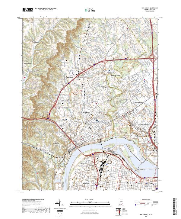
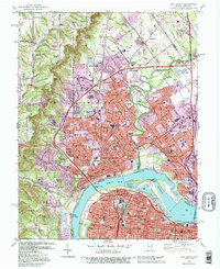
2023 Map of New Albany
USGS Topo · Published 2023About this map
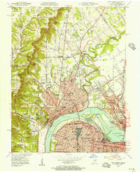
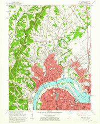
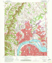
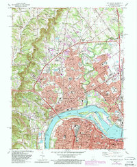
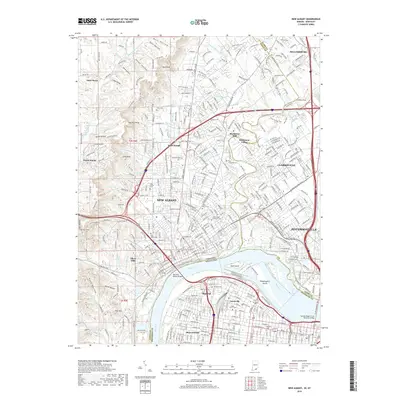
New Albany anchors this riverfront landscape, positioned across the Ohio River from the northern districts of Louisville. The map illustrates a dense urban and suburban network where the terrain rises sharply from the river flats toward the knobs to the west. This transition is marked by prominent elevations like Bald Knob and Spickert Knob, which overlook a series of small watercourses such as Falling Run and Silver Creek. The area's deep history is evident in its many established burial grounds, most notably the New Albany National Cemetery and Fairview Cemetery.
Find a feature on this map
158 named features on this map. Tap any name to fly to it.
Don’t see what you’re looking for? This feature index may not catch every label — zoom into the map to look around manually.
Map Details
Editions of this 2023 New Albany Map
This is the sole edition of this map. No revisions or reprints were ever made.
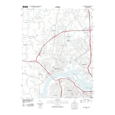
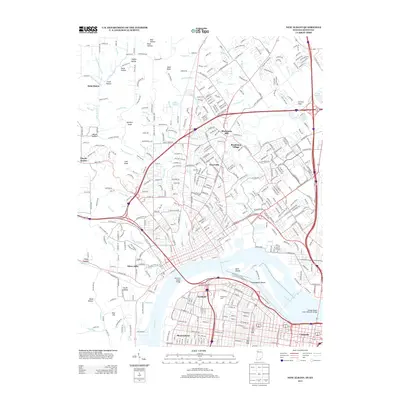
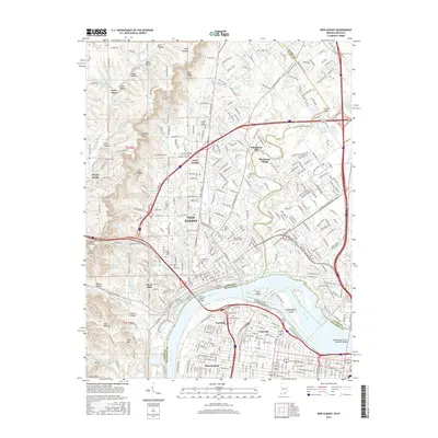
Historical Maps of Louisville Through Time
14 maps found

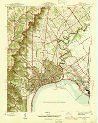
1939 New Albany
Floyd County, IN
1946 New Albany
Floyd County, IN
1950 New Albany
Floyd County, IN
1951 New Albany
Floyd County, IN
1955 New Albany
Floyd County, IN
1960 New Albany
Floyd County, IN
1965 New Albany
Floyd County, IN
1982 New Albany
Floyd County, IN
1992 New Albany
Floyd County, IN
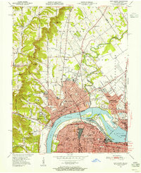
2010 New Albany
Floyd County, IN
2013 New Albany
Floyd County, IN
2016 New Albany
Floyd County, IN
2019 New Albany
Floyd County, IN
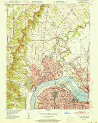
2023 New Albany
Floyd County, IN