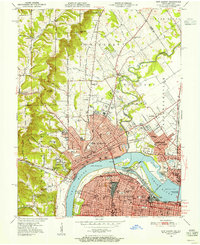
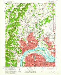
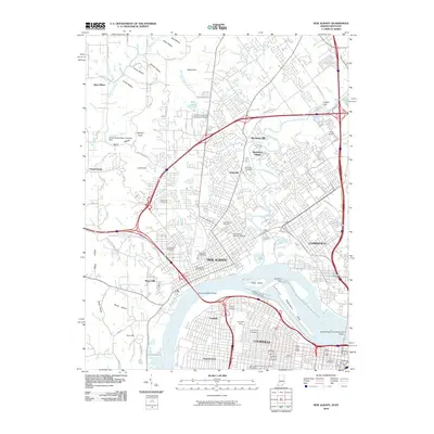
1950 Map of New Albany
USGS Topo · Published 1955About this map
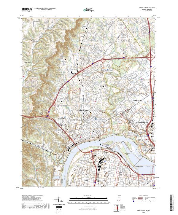
New Albany and Louisville face one another across the Ohio River at the turn of the 1950s, linked by the Toll Bridge and the industrial hub at Sand Island. This survey captures the riverfront at a period of high activity, featuring the Dry Dock and Dam No 41 near the Falls of the Ohio. On the Indiana side, the landscape transitions from the urban density of the city center to the heights of Floyds Knobs and Bald Knob, where several institutions are established including the County Infirmary and Silvercrest State Hospital. The rail infrastructure is particularly dense, with lines from the Southern RR and the Chicago Indianapolis and Louisville RR converging on the river. Rural life is still visible in the north, evidenced by Blackiston Mill on Silver Creek and various small community landmarks like Jacobs Chapel Sch and Friendship Ch.
Find a feature on this map
100 named features on this map. Tap any name to fly to it.
Don’t see what you’re looking for? This feature index may not catch every label — zoom into the map to look around manually.
Map Details
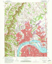
Editions of this 1950 New Albany Map
This is the sole edition of this map. No revisions or reprints were ever made.
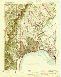
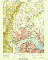
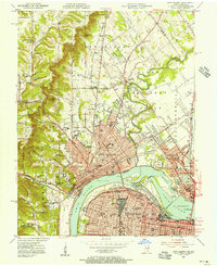
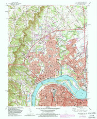
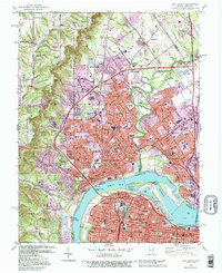
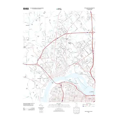
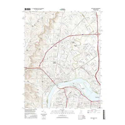
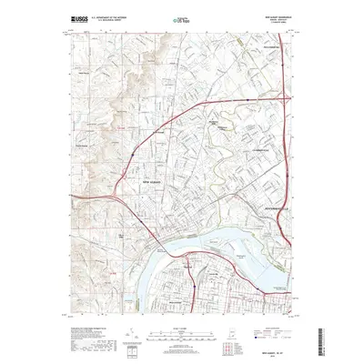
Historical Maps of Louisville Through Time
14 maps found

1939 New Albany
Floyd County, IN
1946 New Albany
Floyd County, IN
1950 New Albany
Floyd County, IN
1951 New Albany
Floyd County, IN
1955 New Albany
Floyd County, IN
1960 New Albany
Floyd County, IN
1965 New Albany
Floyd County, IN
1982 New Albany
Floyd County, IN
1992 New Albany
Floyd County, IN
2010 New Albany
Floyd County, IN
2013 New Albany
Floyd County, IN
2016 New Albany
Floyd County, IN
2019 New Albany
Floyd County, IN
2023 New Albany
Floyd County, IN