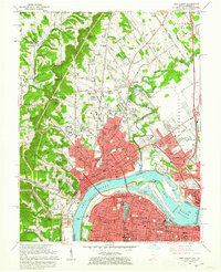
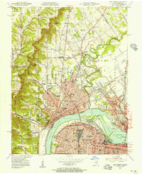
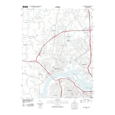
1960 Map of New Albany
USGS Topo · Published 1962About this map
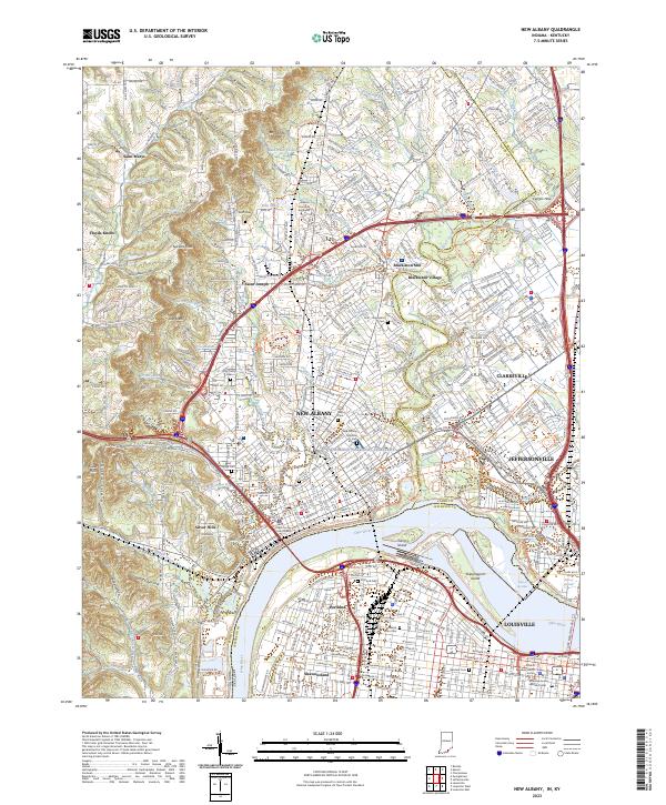
New Albany and Louisville anchor this 1960 revision, showing the dense urban centers connected across the Ohio River near the Falls of the Ohio. The industrial and maritime character of the riverfront is defined by the McAlpine Locks and a complex network of railroads including the Baltimore and Ohio RR and Southern Ry. In the Indiana hills to the northwest, the landscape transitions from the urban grid to the distinctive heights of Floyds Knobs, where smaller settlements like Saint Marys and Saint Joseph are centered around local institutions such as Saint Marys Ch and the County Infirmary. This survey captures the region just before the full expansion of the modern interstate system, with traditional local names like Blackiston Mill and Graceland Cemetery still serving as primary landmarks for the community.
Find a feature on this map
155 named features on this map. Tap any name to fly to it.
Don’t see what you’re looking for? This feature index may not catch every label — zoom into the map to look around manually.
Map Details
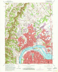
Editions of this 1960 New Albany Map
This is the sole edition of this map. No revisions or reprints were ever made.
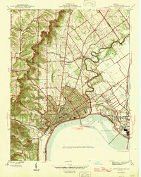
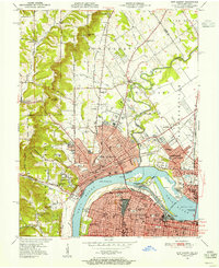
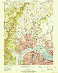
Historical Maps of Louisville Through Time
14 maps found

1939 New Albany
Floyd County, IN
1946 New Albany
Floyd County, IN
1950 New Albany
Floyd County, IN
1951 New Albany
Floyd County, IN
1955 New Albany
Floyd County, IN
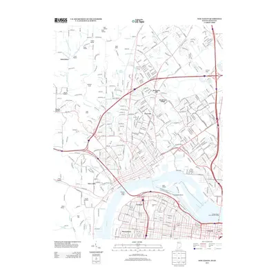
1960 New Albany
Floyd County, IN
1965 New Albany
Floyd County, IN
1982 New Albany
Floyd County, IN
1992 New Albany
Floyd County, IN
2010 New Albany
Floyd County, IN
2013 New Albany
Floyd County, IN
2016 New Albany
Floyd County, IN
2019 New Albany
Floyd County, IN
2023 New Albany
Floyd County, IN