
1980 Map of New Albany West
USGS Topo · Published 1981About this map
The Little Tallahatchie River and its tributary Hell Creek dominate the drainage basin of this northern Mississippi landscape, where the city of New Albany serves as a regional hub. The map reveals a complex transportation network defined by the intersection of major rail lines, including the St Louis San Francisco and the Gulf Mobile and Ohio railroads. This infrastructure supported smaller outlying communities such as Ingomar, Martintown, and Poolville.
Find a feature on this map
47 named features on this map. Tap any name to fly to it.
Don’t see what you’re looking for? This feature index may not catch every label — zoom into the map to look around manually.
Map Details
Editions of this 1980 New Albany West Map
This is the sole edition of this map. No revisions or reprints were ever made.
Other maps of this area

1949 · New Albany
USGS Topo · 1:62,500

1951 · New Albany
USGS Topo · 1:62,500

1955 · Ripley
USGS Topo · 1:62,500

1955 · Sherman
USGS Topo · 1:62,500

1955 · Blue Mountain
USGS Topo · 1:62,500

1956 · Tupelo
USGS Topo · 1:250,000

1958 · Tupelo
USGS Topo · 1:250,000

1980 · Northwest Pontotoc
USGS Topo · 1:24,000
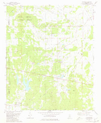
1980 · Thaxton
USGS Topo · 1:24,000
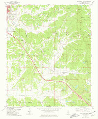
1980 · New Albany East
USGS Topo · 1:24,000