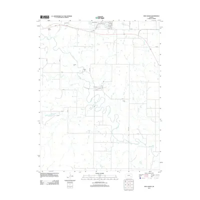
2012 Map of New Albany
USGS Topo · Published 2012About this map
Fall River meanders through this portion of Wilson County, anchoring a landscape defined by its riparian corridors and agricultural grid. The small settlement of New Albany is centered at the junction of Main St and 1st St, situated just east of where Indian Cr meets the larger river. This 2012 survey captures a rural Kansas environment where transportation is predominantly facilitated by a network of numbered and named county roads, such as Barber Rd and Decatur Rd.
Find a feature on this map
45 named features on this map. Tap any name to fly to it.
Don’t see what you’re looking for? This feature index may not catch every label — zoom into the map to look around manually.
Map Details
Editions of this 2012 New Albany Map
This is the sole edition of this map. No revisions or reprints were ever made.
Other maps of this area

1885 · Eureka
USGS Topo · 1:125,000

1885 · Sedan
USGS Topo · 1:125,000

1886 · Fredonia
USGS Topo · 1:125,000

1886 · Independence
USGS Topo · 1:125,000

1888 · Eureka
USGS Topo · 1:125,000

1889 · Sedan
USGS Topo · 1:125,000

1894 · Fredonia
USGS Topo · 1:125,000

1894 · Independence
USGS Topo · 1:125,000

1894 · Eureka
USGS Topo · 1:125,000

1905 · Independence
USGS Topo · 1:125,000