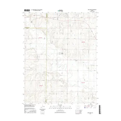
2015 Map of New Albany
USGS Topo · Published 2015About this map
Fall River meanders across this landscape in south-central Kansas, where the borders of Wilson, Greenwood, and Elk counties converge. The town of New Albany sits at the heart of this grid-based agricultural region, centered on Main St and Rock St. The surrounding countryside is dotted with small rural burial grounds, including Saint Francis Cem, Old Tailor Cem, Jackson Cem, and Weakley Cem, which serve as vital markers for local genealogical research. Evidence of regional industry is present along the Oil Field Lease Rd in the southwestern quadrant. The terrain is defined by the drainages of Indian Cr, Silver Cr, and Coon Cr, with the natural depression of Cedar Hollow appearing in the northwest corner near Old Hwy 96.
Find a feature on this map
62 named features on this map. Tap any name to fly to it.
Don’t see what you’re looking for? This feature index may not catch every label — zoom into the map to look around manually.
Map Details
Editions of this 2015 New Albany Map
This is the sole edition of this map. No revisions or reprints were ever made.
Other maps of this area

1885 · Eureka
USGS Topo · 1:125,000

1885 · Sedan
USGS Topo · 1:125,000

1886 · Fredonia
USGS Topo · 1:125,000

1886 · Independence
USGS Topo · 1:125,000

1888 · Eureka
USGS Topo · 1:125,000

1889 · Sedan
USGS Topo · 1:125,000

1894 · Fredonia
USGS Topo · 1:125,000

1894 · Independence
USGS Topo · 1:125,000

1894 · Eureka
USGS Topo · 1:125,000

1905 · Independence
USGS Topo · 1:125,000