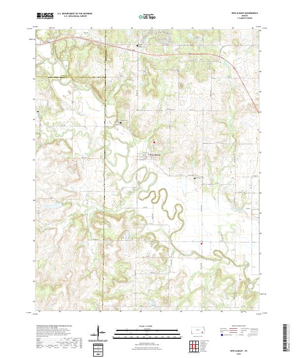
2022 Map of New Albany
USGS Topo · Published 2022About this map
New Albany serves as the focal point of this Kansas landscape, situated near a dramatic oxbow bend in the Fall River. The town is organized around a traditional grid featuring Main St, Mill St, and Rock St, reflecting its historical development along the river. Surrounding the town site, several family and community burial grounds, including Weakley Cem, Saint Francis Cem, and the Old Tailor Cem, provide significant markers for genealogical research.
Find a feature on this map
66 named features on this map. Tap any name to fly to it.
Don’t see what you’re looking for? This feature index may not catch every label — zoom into the map to look around manually.
Map Details
Editions of this 2022 New Albany Map
This is the sole edition of this map. No revisions or reprints were ever made.
Other maps of this area

1885 · Eureka
USGS Topo · 1:125,000

1885 · Sedan
USGS Topo · 1:125,000

1886 · Fredonia
USGS Topo · 1:125,000

1886 · Independence
USGS Topo · 1:125,000

1888 · Eureka
USGS Topo · 1:125,000

1889 · Sedan
USGS Topo · 1:125,000

1894 · Fredonia
USGS Topo · 1:125,000

1894 · Independence
USGS Topo · 1:125,000

1894 · Eureka
USGS Topo · 1:125,000

1905 · Independence
USGS Topo · 1:125,000