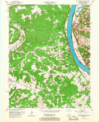
1950 Map of New Amsterdam
USGS Topo · Published 1967About this map
The Ohio River winds through this 1950 landscape, acting as the border between Kentucky and Indiana and the dividing line for Meade and Harrison counties. On the Indiana bank, the small settlement of New Amsterdam sits tucked against the river, bordered by the expansive Harrison-Crawford State Forest. The interior of the map reveals a highly decentralized rural pattern typical of the mid-century, defined by numerous one-room schoolhouses such as Liberty Sch, Mint Springs Sch, and Flat Rock Sch.
Find a feature on this map
33 named features on this map. Tap any name to fly to it.
Don’t see what you’re looking for? This feature index may not catch every label — zoom into the map to look around manually.
Map Details
Editions of this 1950 New Amsterdam Map
2 editions found
Other maps of this area

1928 · Hardinsburg
USGS Topo · 1:48,000

1931 · Hardinsburg
USGS Topo · 1:62,500

1931 · Corydon
USGS Topo · 1:62,500

1941 · Ekron
USGS Topo · 1:62,500

1944 · Corydon West
USGS Topo · 1:24,000

1946 · Leavenworth
USGS Topo · 1:24,000

1947 · Irvington
USGS Topo · 1:24,000

1947 · Lodiburg
USGS Topo · 1:24,000

1947 · Leavenworth
USGS Topo · 1:24,000

1947 · Corydon West
USGS Topo · 1:24,000