
1954 Map of New Athens West
USGS Topo · Published 1959About this map
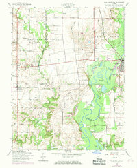
The Kaskaskia River dominates this mid-century landscape, carving a winding path through the borderlands of St. Clair and Monroe counties. This survey reveals a complex hydrological network of oxbow lakes and backwaters, including Halfmoon Lake, Sawmill Lake, and the evocative White Cabin Slough. These water features define the eastern half of the map near New Athens, where the Illinois Central railroad crosses the river, linking the rural riverbanks to broader regional markets.
Find a feature on this map
42 named features on this map. Tap any name to fly to it.
Don’t see what you’re looking for? This feature index may not catch every label — zoom into the map to look around manually.
Map Details
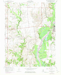
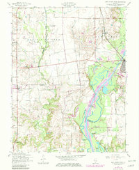
Editions of this 1954 New Athens West Map
4 editions found
Other maps of this area

1910 · Waterloo
USGS Topo · 1:62,500

1912 · New Athens
USGS Topo · 1:62,500

1912 · Baldwin
USGS Topo · 1:62,500

1913 · Waterloo
USGS Topo · 1:62,500

1914 · Baldwin
USGS Topo · 1:62,500

1915 · Renault
USGS Topo · 1:62,500

1940 · Renault
USGS Topo · 1:62,500

1942 · Baldwin
USGS Topo · 1:62,500

1949 · Saint Louis
USGS Topo · 1:250,000
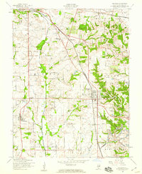
1954 · Freeburg
USGS Topo · 1:24,000