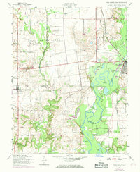
1954 Map of New Athens West
USGS Topo · Published 1969About this map
The Kaskaskia River meanders through a landscape of bottomland sloughs and elevated prairies along the border of St. Clair and Monroe Counties. This mid-century environment is defined by the contrast between the fertile St Marcus Prairie and the complex waterway network of the river basin, featuring numerous oxbows like Halfmoon Lake and Stubblefield Lake. Cultural development is anchored by the village of Hecker in the west and New Athens in the northeast, the latter served by the Illinois Central railroad. Genealogists and local researchers will find significant value in the distribution of family-named landmarks and rural burial grounds, including Tamarawa Cem, Ridge Cem, and the Hecker Freedom Cem. The map also captures local religious life at St Marcus Ch and the industrial presence of a Quarry near the southern boundary, illustrating the diverse agrarian and extractive activities of the era.
Find a feature on this map
41 named features on this map. Tap any name to fly to it.
Don’t see what you’re looking for? This feature index may not catch every label — zoom into the map to look around manually.
Map Details
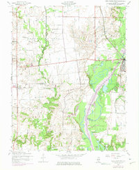
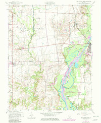
Editions of this 1954 New Athens West Map
4 editions found

Other maps of this area

1910 · Waterloo
USGS Topo · 1:62,500

1912 · New Athens
USGS Topo · 1:62,500

1912 · Baldwin
USGS Topo · 1:62,500

1913 · Waterloo
USGS Topo · 1:62,500

1914 · Baldwin
USGS Topo · 1:62,500

1915 · Renault
USGS Topo · 1:62,500

1940 · Renault
USGS Topo · 1:62,500

1942 · Baldwin
USGS Topo · 1:62,500

1949 · Saint Louis
USGS Topo · 1:250,000
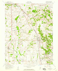
1954 · Freeburg
USGS Topo · 1:24,000