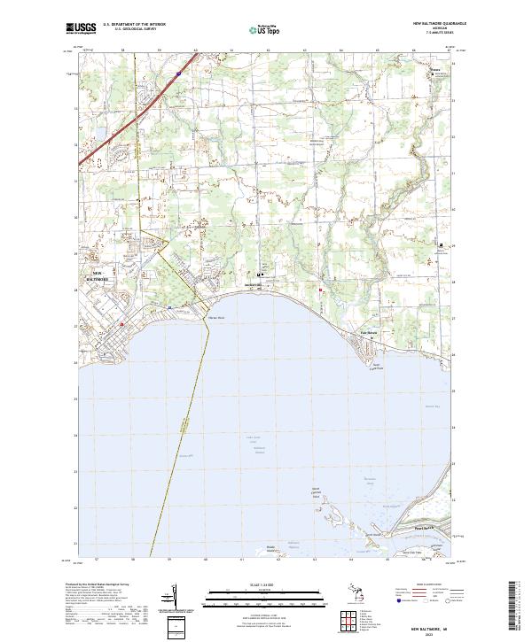
2023 Map of New Baltimore
USGS Topo · Published 2023About this map
The coastal interface where Macomb and St. Clair counties meet is defined by the expansive Anchor Bay and the intricate wetlands of the Saint Clair Flats. This shoreline landscape is dotted with long-established waterfront communities like Anchorville, Fair Haven, and Pearl Beach, which follow the curve of the lake along the Marine City Hwy and Ira Rd. The map illustrates a transition from the denser residential blocks of New Baltimore to the low-lying delta geography near Dickinson Island.
Find a feature on this map
50 named features on this map. Tap any name to fly to it.
Don’t see what you’re looking for? This feature index may not catch every label — zoom into the map to look around manually.
Map Details
Editions of this 2023 New Baltimore Map
This is the sole edition of this map. No revisions or reprints were ever made.
Other maps of this area

1912 · Mt Clemens
USGS Topo · 1:62,500

1914 · Armada
USGS Topo · 1:62,500

1914 · Algonac
USGS Topo · 1:62,500

1928 · Armada
USGS Topo · 1:62,500

1928 · Hicky
USGS Topo · 1:62,500

1929 · Mt Clemens
USGS Topo · 1:62,500

1936 · New Haven
USGS Topo · 1:31,680

1936 · Rattle Run
USGS Topo · 1:31,680

1936 · Selfridge Field
USGS Topo · 1:31,680

1936 · New Baltimore
USGS Topo · 1:31,680