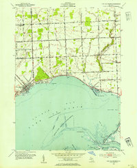
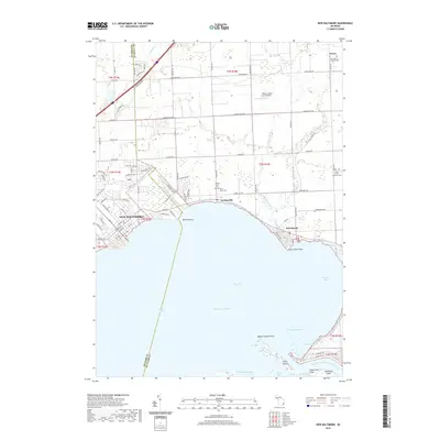
1968 Map of New Baltimore
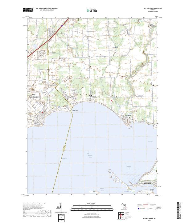
USGS Topo · Published 1974About this map
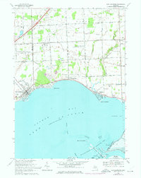
Anchor Bay and the northern reaches of Lake St Clair dominate this coastal survey, where the development of the Macomb and St. Clair county line meets the water. The shoreline is defined by established communities like New Baltimore, Anchorville, and Fair Haven, while the interior remains a blend of agricultural parcels and specialized industry. A Motor City Drag Strip sits inland, contrasting with the preservation of the St Clair Flats State Wildlife Area to the south. This era shows a landscape transitioning between its rural roots and growing recreational and industrial utility, evidenced by the Ira Gas Storage Field and several scattered gas and oil wells. The map captures the historic boundaries of the Old Indian Treaty Boundary, still influencing the modern road grid near Springborn Road. Local history is anchored by landmarks like Sacred Heart Cem and All Saints Ch.
Find a feature on this map
64 named features on this map. Tap any name to fly to it.
Don’t see what you’re looking for? This feature index may not catch every label — zoom into the map to look around manually.
Map Details
Editions of this 1968 New Baltimore Map
2 editions found
Historical Maps of Chesterfield Township Through Time
9 maps found
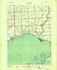
1936 New Baltimore
Macomb County, MI
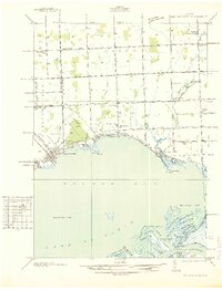
1939 New Baltimore
Macomb County, MI
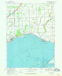
1952 New Baltimore
Macomb County, MI
1968 New Baltimore
Macomb County, MI
2011 New Baltimore
Macomb County, MI
2014 New Baltimore
Macomb County, MI
2017 New Baltimore
Macomb County, MI
2019 New Baltimore
Macomb County, MI
2023 New Baltimore
Macomb County, MI
Featured Locations
- Clay Township, MI
- Lenox Township, MI
- New Baltimore, MI
- Chesterfield Township, MI
- Anchorville, Ira Township