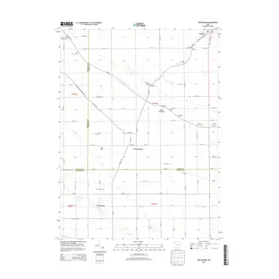
2013 Map of New Bavaria
USGS Topo · Published 2013About this map
New Bavaria serves as the central hub of this rural landscape in Northwest Ohio, where the grid of county roads meets a cluster of local heritage sites. The map records a dense distribution of ecclesiastical history, particularly around the settlements of Holgate and Pleasant Bend. This area is characterized by its agricultural roots, evidenced by landmarks like the Maple Grove Dairy and the numerous family and parish burial grounds that dot the townships, such as the Old Saint Stephens Lutheran Cem and Sacred Heart Cem.
Find a feature on this map
111 named features on this map. Tap any name to fly to it.
Don’t see what you’re looking for? This feature index may not catch every label — zoom into the map to look around manually.
Map Details
Editions of this 2013 New Bavaria Map
This is the sole edition of this map. No revisions or reprints were ever made.
Other maps of this area

1907 · Defiance
USGS Topo · 1:62,500

1908 · Ottawa
USGS Topo · 1:62,500

1908 · Napoleon
USGS Topo · 1:62,500

1909 · Defiance
USGS Topo · 1:62,500

1909 · Continental
USGS Topo · 1:62,500

1953 · Fort Wayne
USGS Topo · 1:250,000

1956 · Fort Wayne
USGS Topo · 1:250,000

1959 · Defiance East
USGS Topo · 1:24,000

1959 · Florida
USGS Topo · 1:24,000

1960 · Ottawa
USGS Topo · 1:24,000