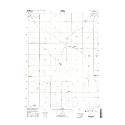
2016 Map of New Bavaria
USGS Topo · Published 2016About this map
New Bavaria anchors this rural landscape at the junction of Co Rd Y and Twp Rd 16A, surrounded by a dense network of township and county roads that define the region's agricultural character. This 2016 survey captures the borderlands where Henry, Putnam, and Defiance Counties meet, a territory marked by numerous parochial burial grounds and small settlements. The drainage patterns of School Cr and Lost Cr flow toward the northeast, while the southern portion of the quadrangle is defined by the headwaters of N Powell Cr and S Powell Cr.
Find a feature on this map
127 named features on this map. Tap any name to fly to it.
Don’t see what you’re looking for? This feature index may not catch every label — zoom into the map to look around manually.
Map Details
Editions of this 2016 New Bavaria Map
This is the sole edition of this map. No revisions or reprints were ever made.
Other maps of this area

1907 · Defiance
USGS Topo · 1:62,500

1908 · Ottawa
USGS Topo · 1:62,500

1908 · Napoleon
USGS Topo · 1:62,500

1909 · Defiance
USGS Topo · 1:62,500

1909 · Continental
USGS Topo · 1:62,500

1953 · Fort Wayne
USGS Topo · 1:250,000

1956 · Fort Wayne
USGS Topo · 1:250,000

1959 · Defiance East
USGS Topo · 1:24,000

1959 · Florida
USGS Topo · 1:24,000

1960 · Ottawa
USGS Topo · 1:24,000