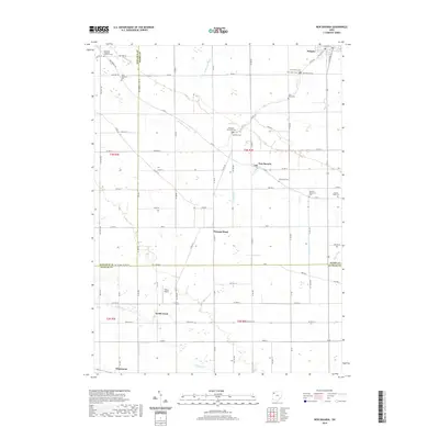
2019 Map of New Bavaria
USGS Topo · Published 2019About this map
Pleasant Township Cemetery and a high concentration of denominational burying grounds define the rural landscape of southern Henry County in this recent survey. The map details a strictly organized grid of township and county roads that link small settlements such as New Bavaria, Pleasant Bend, and Holgate. This layout reflects the enduring agricultural character of the region, where drainage projects like Brinkman Ditch and Gustaviller Ditch have historically supported productive farming across the flat terrain.
Find a feature on this map
86 named features on this map. Tap any name to fly to it.
Don’t see what you’re looking for? This feature index may not catch every label — zoom into the map to look around manually.
Map Details
Editions of this 2019 New Bavaria Map
This is the sole edition of this map. No revisions or reprints were ever made.
Other maps of this area

1907 · Defiance
USGS Topo · 1:62,500

1908 · Ottawa
USGS Topo · 1:62,500

1908 · Napoleon
USGS Topo · 1:62,500

1909 · Defiance
USGS Topo · 1:62,500

1909 · Continental
USGS Topo · 1:62,500

1953 · Fort Wayne
USGS Topo · 1:250,000

1956 · Fort Wayne
USGS Topo · 1:250,000

1959 · Defiance East
USGS Topo · 1:24,000

1959 · Florida
USGS Topo · 1:24,000

1960 · Ottawa
USGS Topo · 1:24,000