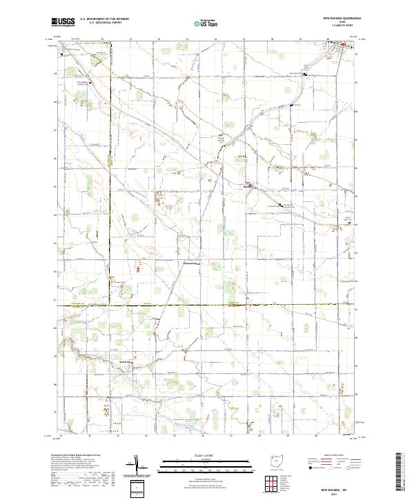
2023 Map of New Bavaria
USGS Topo · Published 2023About this map
New Bavaria and Pleasant Bend anchor this portion of the northwestern Ohio agricultural landscape, where the flat terrain is defined by an extensive network of drainage ditches and creeks. Settled by German immigrants, the area's religious and community roots are evidenced by the density of cemeteries and churches, such as Saint Stephens Lutheran Church and the nearby Saint Stephens Lutheran Cem.
Find a feature on this map
83 named features on this map. Tap any name to fly to it.
Don’t see what you’re looking for? This feature index may not catch every label — zoom into the map to look around manually.
Map Details
Editions of this 2023 New Bavaria Map
This is the sole edition of this map. No revisions or reprints were ever made.
Other maps of this area

1907 · Defiance
USGS Topo · 1:62,500

1908 · Ottawa
USGS Topo · 1:62,500

1908 · Napoleon
USGS Topo · 1:62,500

1909 · Defiance
USGS Topo · 1:62,500

1909 · Continental
USGS Topo · 1:62,500

1953 · Fort Wayne
USGS Topo · 1:250,000

1956 · Fort Wayne
USGS Topo · 1:250,000

1959 · Defiance East
USGS Topo · 1:24,000

1959 · Florida
USGS Topo · 1:24,000

1960 · Ottawa
USGS Topo · 1:24,000