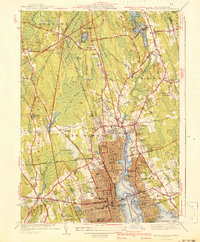
1941 Map of New Bedford North
USGS Topo · Published 1941About this map
New Bedford and the maritime hub of New Bedford Harbor dominate this 1941 survey, showing the city's transition from its legendary whaling era to a mid-century urban center. The industrial and cultural importance of the waterfront is highlighted by the Whaling Museum, State Pier, and the coastal defenses at Fort Phoenix. Inland, the landscape reveals a mosaic of dense city grids and extensive wetlands like Apponagansett Swamp and Acushnet Swamp, which constrained expansion and shaped the local transportation network.
Find a feature on this map
107 named features on this map. Tap any name to fly to it.
Don’t see what you’re looking for? This feature index may not catch every label — zoom into the map to look around manually.
Map Details
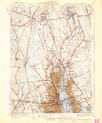
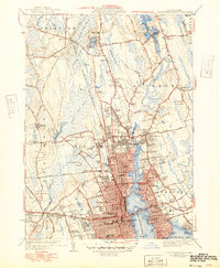
Editions of this 1941 New Bedford North Map
3 editions found
Other maps of this area

1885 · New Bedford
USGS Topo · 1:62,500

1885 · Middleboro
USGS Topo · 1:62,500

1885 · Taunton
USGS Topo · 1:62,500

1888 · New Bedford
USGS Topo · 1:62,500

1888 · Fall River
USGS Topo · 1:62,500

1888 · Taunton
USGS Topo · 1:62,500

1888 · Middleboro
USGS Topo · 1:62,500

1893 · Taunton
USGS Topo · 1:62,500

1893 · Middleboro
USGS Topo · 1:62,500

1893 · Fall River
USGS Topo · 1:62,500