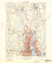
1941 Map of New Bedford North
USGS Topo · Published 1949About this map
New Bedford Harbor and the Acushnet River serve as the industrial and maritime spine of this coastal landscape, reflecting the region's deep connection to the sea during the 1940s. The dense urban grid of New Bedford transitions into the surrounding townships of Fairhaven, Acushnet, and Dartmouth. Inland, the terrain is characterized by expansive wetlands like the Acushnet Cedar Swamp and the Bolton Cedar Swamp, punctuated by local landmarks such as the Mendall Hill Fire Tower and Sassaquin Hospital.
Find a feature on this map
131 named features on this map. Tap any name to fly to it.
Don’t see what you’re looking for? This feature index may not catch every label — zoom into the map to look around manually.
Map Details
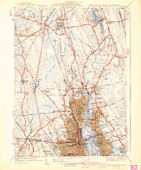
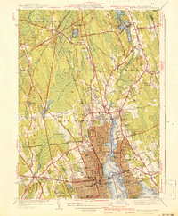
Editions of this 1941 New Bedford North Map
3 editions found
Other maps of this area

1885 · New Bedford
USGS Topo · 1:62,500

1885 · Middleboro
USGS Topo · 1:62,500

1885 · Taunton
USGS Topo · 1:62,500

1888 · New Bedford
USGS Topo · 1:62,500

1888 · Fall River
USGS Topo · 1:62,500

1888 · Taunton
USGS Topo · 1:62,500

1888 · Middleboro
USGS Topo · 1:62,500

1893 · Taunton
USGS Topo · 1:62,500

1893 · Middleboro
USGS Topo · 1:62,500

1893 · Fall River
USGS Topo · 1:62,500