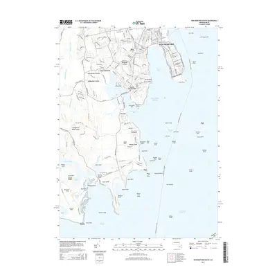
2015 Map of New Bedford South
USGS Topo · Published 2015About this map
The coastal hamlets and peninsula of southern Bristol County are meticulously detailed in this survey of the Buzzards Bay shoreline. New Bedford dominates the northeastern corner, but the map’s primary focus is the intricate network of villages and coves to the south, including South Dartmouth, Bliss Corner, and Nonquitt. The landscape is a mix of dense residential clusters and significant maritime hazards, from the Butler Flats lighthouse area to the numerous ledges like Wilkes Ledge and Bents Ledge that dot the approaches to the harbor.
Find a feature on this map
182 named features on this map. Tap any name to fly to it.
Don’t see what you’re looking for? This feature index may not catch every label — zoom into the map to look around manually.
Map Details
Editions of this 2015 New Bedford South Map
This is the sole edition of this map. No revisions or reprints were ever made.
Other maps of this area

1885 · New Bedford
USGS Topo · 1:62,500

1885 · Sakonnet
USGS Topo · 1:62,500

1887 · Gay Head
USGS Topo · 1:62,500

1888 · New Bedford
USGS Topo · 1:62,500

1888 · Fall River
USGS Topo · 1:62,500

1888 · Sakonnet
USGS Topo · 1:62,500

1889 · Gay Head
USGS Topo · 1:62,500

1893 · Gay Head
USGS Topo · 1:62,500

1893 · Sakonnet
USGS Topo · 1:62,500

1893 · Fall River
USGS Topo · 1:62,500