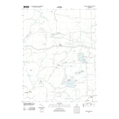
2010 Map of New Bellsville
USGS Topo · Published 2010About this map
New Bellsville and the surrounding township appear here in a period of established residential growth and water resource management. The landscape is defined by the drainage of East Fork Salt Creek and the presence of several significant reservoirs, including the expansive Harrison Lake and Grandview Lake. Small settlements like Bethany, Stony Lonesome, and Ogilville are connected by a network of ridge roads such as Four Mile Ridge RD and Nelson Ridge RD, reflecting the influence of the area's topography on its development.
Find a feature on this map
104 named features on this map. Tap any name to fly to it.
Don’t see what you’re looking for? This feature index may not catch every label — zoom into the map to look around manually.
Map Details
Editions of this 2010 New Bellsville Map
This is the sole edition of this map. No revisions or reprints were ever made.
Other maps of this area

1942 · Franklin
USGS Topo · 1:125,000

1942 · Columbus
USGS Topo · 1:125,000

1947 · Nashville
USGS Topo · 1:24,000

1947 · Franklin
USGS Topo · 1:62,500

1948 · Edinburg
USGS Topo · 1:24,000

1948 · New Bellsville
USGS Topo · 1:24,000

1948 · Waymansville
USGS Topo · 1:24,000

1948 · Nineveh
USGS Topo · 1:24,000

1948 · Fruitdale
USGS Topo · 1:24,000

1949 · Nashville
USGS Topo · 1:24,000