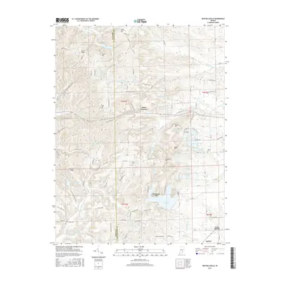
2016 Map of New Bellsville
USGS Topo · Published 2016About this map
The Bartholomew Co and Brown Co line defines the central axis of this landscape, where the rugged terrain of south-central Indiana transitions from upland ridges to the water-carved valleys of Middle Fork Salt Cr and the E Fork White Cr. The settlement pattern is characterized by small, dispersed communities like Stony Lonesome, Green Valley, and the village of New Bellsville. This era shows a significant focus on recreational and residential water features, with private developments surrounding Grandview Lake, Harrison Lake, and Youth Camp Lake dotting the hillsides.
Find a feature on this map
114 named features on this map. Tap any name to fly to it.
Don’t see what you’re looking for? This feature index may not catch every label — zoom into the map to look around manually.
Map Details
Editions of this 2016 New Bellsville Map
This is the sole edition of this map. No revisions or reprints were ever made.
Other maps of this area

1942 · Franklin
USGS Topo · 1:125,000

1942 · Columbus
USGS Topo · 1:125,000

1947 · Nashville
USGS Topo · 1:24,000

1947 · Franklin
USGS Topo · 1:62,500

1948 · Edinburg
USGS Topo · 1:24,000

1948 · New Bellsville
USGS Topo · 1:24,000

1948 · Waymansville
USGS Topo · 1:24,000

1948 · Nineveh
USGS Topo · 1:24,000

1948 · Fruitdale
USGS Topo · 1:24,000

1949 · Nashville
USGS Topo · 1:24,000