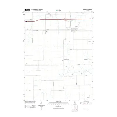
2012 Map of New Berlin
USGS Topo · Published 2012About this map
New Berlin serves as the primary hub of this Sangamon County landscape, where the grid of a modern township meets long-established agricultural patterns. The area is defined by the drainage of Spring Cr, Lick Cr, and S Fork Lick Cr, which carve gentle paths through the farmland. Historically significant nodes like Browns Crossing and Island Grove sit along the corridor of Old Route 54, reflecting the shift from older thoroughfares to contemporary transit.
Find a feature on this map
74 named features on this map. Tap any name to fly to it.
Don’t see what you’re looking for? This feature index may not catch every label — zoom into the map to look around manually.
Map Details
Editions of this 2012 New Berlin Map
This is the sole edition of this map. No revisions or reprints were ever made.
Other maps of this area

1909 · Tallula
USGS Topo · 1:62,500

1924 · Waverly
USGS Topo · 1:62,500

1926 · Waverly
USGS Topo · 1:62,500

1932 · Jacksonville
USGS Topo · 1:62,500

1932 · Virginia
USGS Topo · 1:62,500

1936 · Virginia
USGS Topo · 1:62,500

1937 · Jacksonville
USGS Topo · 1:62,500

1940 · Tallula
USGS Topo · 1:62,500

1948 · Quincy
USGS Topo · 1:250,000

1956 · Quincy
USGS Topo · 1:250,000