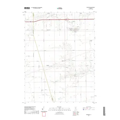
2021 Map of New Berlin
USGS Topo · Published 2021About this map
New Berlin and its northern neighbor Berlin serve as the primary hubs of this central Illinois landscape, where the flat upland prairie is carved by the meandering courses of Lick Cr and Spring Cr. The map reveals a high concentration of pioneer and denominational burial grounds, such as Saint Mary's Catholic Cem and Saint John's Lutheran Cem, which often sit at the edges of the original timber lines where the prairie meets the creek bottoms. Small, persistent settlements like Island Grove, Prouty, and Huffaker are distributed along a grid of section-line roads, illustrating the enduring agricultural organization of Sangamon County. The presence of numerous small family or community cemeteries, including Foutch Cem, Wilcox Cem, and Hodgerson Cem, provides a detailed record of rural settlement patterns that have remained remarkably stable into the 21st century.
Find a feature on this map
71 named features on this map. Tap any name to fly to it.
Don’t see what you’re looking for? This feature index may not catch every label — zoom into the map to look around manually.
Map Details
Editions of this 2021 New Berlin Map
This is the sole edition of this map. No revisions or reprints were ever made.
Other maps of this area

1909 · Tallula
USGS Topo · 1:62,500

1924 · Waverly
USGS Topo · 1:62,500

1926 · Waverly
USGS Topo · 1:62,500

1932 · Jacksonville
USGS Topo · 1:62,500

1932 · Virginia
USGS Topo · 1:62,500

1936 · Virginia
USGS Topo · 1:62,500

1937 · Jacksonville
USGS Topo · 1:62,500

1940 · Tallula
USGS Topo · 1:62,500

1948 · Quincy
USGS Topo · 1:250,000

1956 · Quincy
USGS Topo · 1:250,000