
1943 Map of New Berlin South
USGS Topo · Published 1960About this map
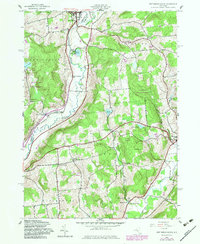
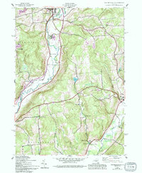
The Unadilla River forms a natural corridor through this mid-century landscape, acting as the county line between Chenango and Otsego. Settlement is concentrated in the village of New Berlin at the junction of Wharton Creek and along the southeastern edge in Morris. The map reveals a highly decentralized rural community structured around local education and transportation hubs, including numerous schoolhouses like School No 3 and School No 4, and crossing points such as Sages Crossing and Davis Crossing.
Find a feature on this map
38 named features on this map. Tap any name to fly to it.
Don’t see what you’re looking for? This feature index may not catch every label — zoom into the map to look around manually.
Map Details
Editions of this 1943 New Berlin South Map
3 editions found
Other maps of this area

1910 · Hartwick
USGS Topo · 1:62,500

1910 · New Berlin
USGS Topo · 1:62,500

1912 · New Berlin
USGS Topo · 1:62,500

1912 · Hartwick
USGS Topo · 1:62,500

1915 · Oneonta
USGS Topo · 1:62,500

1915 · Unadilla
USGS Topo · 1:62,500

1918 · Unadilla
USGS Topo · 1:62,500

1918 · Oneonta
USGS Topo · 1:62,500

1943 · New Berlin North
USGS Topo · 1:24,000

1943 · Gilbertsville
USGS Topo · 1:24,000