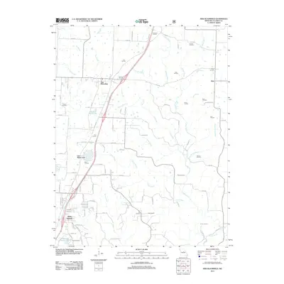
2012 Map of New Bloomfield
USGS Topo · Published 2012About this map
New Bloomfield and the expanding northern reaches of Holts Summit anchor this 2012 survey of central Callaway County. The landscape is defined by a dense network of watercourses, including Town Creek, Hillers Creek, and the Cason Branch, which carve through the terrain between established rural communities like Dixie. Small residential developments and artificial water bodies such as Lake Mykee Town, Meadow Brook Lake, and Dogwood Acres Lake illustrate the transition from traditional agricultural land to suburban settlement patterns.
Find a feature on this map
103 named features on this map. Tap any name to fly to it.
Don’t see what you’re looking for? This feature index may not catch every label — zoom into the map to look around manually.
Map Details
Editions of this 2012 New Bloomfield Map
This is the sole edition of this map. No revisions or reprints were ever made.
Other maps of this area

1886 · Jefferson City
USGS Topo · 1:125,000

1890 · Fulton
USGS Topo · 1:125,000

1894 · Jefferson City
USGS Topo · 1:125,000

1928 · Fulton
USGS Topo · 1:62,500

1931 · Fulton
USGS Topo · 1:62,500

1939 · Jefferson City
USGS Topo · 1:24,000

1939 · Jefferson City
USGS Topo · 1:62,500

1942 · Jefferson City
USGS Topo · 1:62,500

1944 · Millersburg
USGS Topo · 1:62,500

1945 · Mokane
USGS Topo · 1:62,500