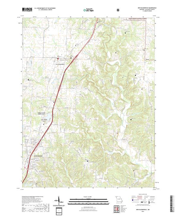
2021 Map of New Bloomfield
USGS Topo · Published 2021About this map
New Bloomfield and Holts Summit anchor this landscape in Callaway County, Missouri, situated along the corridor formed by Platinum Rd and Old US Hwy 54. The area is notably dense with family and community burial grounds, such as Old Providence Cem, Saint Paul Cem, and Redwood Cem, which provide significant points of interest for genealogical research. The terrain is characterized by the numerous branches of Hillers Cr and Town Cr that cut through the central sections of the quadrangle.
Find a feature on this map
102 named features on this map. Tap any name to fly to it.
Don’t see what you’re looking for? This feature index may not catch every label — zoom into the map to look around manually.
Map Details
Editions of this 2021 New Bloomfield Map
This is the sole edition of this map. No revisions or reprints were ever made.
Other maps of this area

1886 · Jefferson City
USGS Topo · 1:125,000

1890 · Fulton
USGS Topo · 1:125,000

1894 · Jefferson City
USGS Topo · 1:125,000

1928 · Fulton
USGS Topo · 1:62,500

1931 · Fulton
USGS Topo · 1:62,500

1939 · Jefferson City
USGS Topo · 1:24,000

1939 · Jefferson City
USGS Topo · 1:62,500

1942 · Jefferson City
USGS Topo · 1:62,500

1944 · Millersburg
USGS Topo · 1:62,500

1945 · Mokane
USGS Topo · 1:62,500