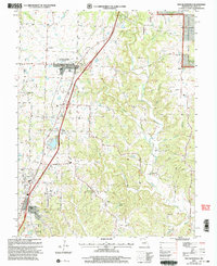
2000 Map of New Bloomfield
USGS Topo · Published 2003About this map
New Bloomfield serves as the focal point of this Callaway County landscape, where the transition from open agricultural land to the wooded drainages of the Mark Twain National Forest is clearly visible. The area's settlement history is densely recorded through its numerous family and community burial grounds, including Cason Cem, Williams Cem, and Knight Cem. These landmarks, alongside local congregations like St Paul Ch and Providence Ch, suggest a long-standing rural community structure that persisted even as transportation patterns shifted along Old U.S. Highway 54.
Find a feature on this map
50 named features on this map. Tap any name to fly to it.
Don’t see what you’re looking for? This feature index may not catch every label — zoom into the map to look around manually.
Map Details
Editions of this 2000 New Bloomfield Map
This is the sole edition of this map. No revisions or reprints were ever made.
Other maps of this area

1886 · Jefferson City
USGS Topo · 1:125,000

1890 · Fulton
USGS Topo · 1:125,000

1894 · Jefferson City
USGS Topo · 1:125,000

1928 · Fulton
USGS Topo · 1:62,500

1931 · Fulton
USGS Topo · 1:62,500

1939 · Jefferson City
USGS Topo · 1:24,000

1939 · Jefferson City
USGS Topo · 1:62,500

1942 · Jefferson City
USGS Topo · 1:62,500

1944 · Millersburg
USGS Topo · 1:62,500

1945 · Mokane
USGS Topo · 1:62,500