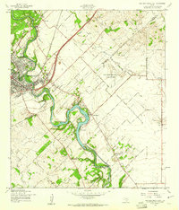
1958 Map of New Braunfels East
USGS Topo · Published 1961About this map
The Guadalupe River snakes through the heart of this landscape, its waters impounded at Lake Dunlap by the Texas Power Company Dam 1. This late-1950s survey captures the eastern expansion of New Braunfels and the agricultural hamlets that once surrounded it, such as Gruene and Freiheit. Infrastructure of the era is prominent, featuring the Missouri Pacific railroad line and the expansive Clear Springs Air Force Auxiliary Field. Local history is preserved in the location of the Booker T Washington Sch and the Goodwin Sch, alongside community landmarks like Peace Ch and the Lone Oak Cem. The map provides a look at the rural transition before suburban development, noting small clusters like Schumannsville and the industrial presence of the Powerhouse near the river's bend.
Find a feature on this map
38 named features on this map. Tap any name to fly to it.
Don’t see what you’re looking for? This feature index may not catch every label — zoom into the map to look around manually.
Map Details
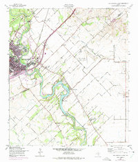
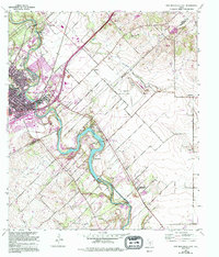
Editions of this 1958 New Braunfels East Map
3 editions found
Other maps of this area

1911 · San Marcos
USGS Topo · 1:125,000

1919 · San Marcos
USGS Topo · 1:125,000

1924 · New Braunfels No 4
USGS Topo · 1:48,000

1924 · San Marcos 3-c
USGS Topo · 1:48,000

1925 · New Braunfels No 1
USGS Topo · 1:48,000

1925 · Hunter No 3
USGS Topo · 1:48,000

1927 · New Braunfels
USGS Topo · 1:62,500

1929 · Hunter
USGS Topo · 1:62,500

1930 · Seguin
USGS Topo · 1:62,500

1953 · Seguin
USGS Topo · 1:250,000