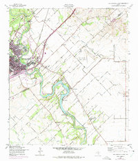
1958 Map of New Braunfels East
USGS Topo · Published 1975About this map
The Guadalupe River and Comal River anchor this mid-century landscape of south-central Texas, where the transition from municipal industry to rural farming is clearly etched. In New Braunfels, the presence of the Booker T Washington Sch and Goodwin Sch points to a community-focused era, while the Missouri Pacific and Missouri Kansas Texas railroads highlight the city's role as a transportation hub. Downriver, the impounded waters of Lake Dunlap create a focal point for recreation at Camp Willow, supported by the infrastructure of the Texas Power Company Dam 1.
Find a feature on this map
37 named features on this map. Tap any name to fly to it.
Don’t see what you’re looking for? This feature index may not catch every label — zoom into the map to look around manually.
Map Details
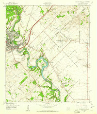
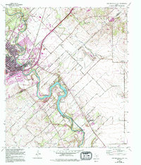
Editions of this 1958 New Braunfels East Map
3 editions found
Other maps of this area

1911 · San Marcos
USGS Topo · 1:125,000

1919 · San Marcos
USGS Topo · 1:125,000

1924 · New Braunfels No 4
USGS Topo · 1:48,000

1924 · San Marcos 3-c
USGS Topo · 1:48,000

1925 · New Braunfels No 1
USGS Topo · 1:48,000

1925 · Hunter No 3
USGS Topo · 1:48,000

1927 · New Braunfels
USGS Topo · 1:62,500

1929 · Hunter
USGS Topo · 1:62,500

1930 · Seguin
USGS Topo · 1:62,500

1953 · Seguin
USGS Topo · 1:250,000