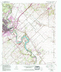
1958 Map of New Braunfels East
USGS Topo · Published 1994About this map
The Guadalupe River and its hydroelectric potential anchor this mid-century survey of the Comal and Guadalupe county line. The landscape is defined by the winding river channel and the impounded waters of Lake Dunlap, where the Dunlap Powerhouse stands as a testament to the region's industrial utility. Rural life is centered around longstanding communities such as Gruene, Freiheit, and Schumannsville, each reflecting the German-Texan heritage of this corridor.
Find a feature on this map
32 named features on this map. Tap any name to fly to it.
Don’t see what you’re looking for? This feature index may not catch every label — zoom into the map to look around manually.
Map Details
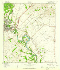
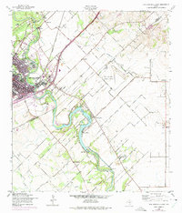
Editions of this 1958 New Braunfels East Map
3 editions found
Other maps of this area

1911 · San Marcos
USGS Topo · 1:125,000

1919 · San Marcos
USGS Topo · 1:125,000

1924 · New Braunfels No 4
USGS Topo · 1:48,000

1924 · San Marcos 3-c
USGS Topo · 1:48,000

1925 · New Braunfels No 1
USGS Topo · 1:48,000

1925 · Hunter No 3
USGS Topo · 1:48,000

1927 · New Braunfels
USGS Topo · 1:62,500

1929 · Hunter
USGS Topo · 1:62,500

1930 · Seguin
USGS Topo · 1:62,500

1953 · Seguin
USGS Topo · 1:250,000