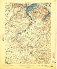
1901 Map of New Brunswick
USGS Topo · Published 1913About this map
The Raritan River and its expansive wetlands dominate this landscape, serving as a corridor for industrial and agricultural development at the turn of the century. Settlements like New Brunswick and Highland Park are well-established hubs near the northern reach, while the south is defined by the headwaters of the Millstone River and Manalapan Brook. The convergence of transportation and geography is evident in the path of the Pennsylvania R.R. (Amboy Division), which threads through smaller hamlets such as Helmetta and Spotswood.
Find a feature on this map
90 named features on this map. Tap any name to fly to it.
Don’t see what you’re looking for? This feature index may not catch every label — zoom into the map to look around manually.
Map Details
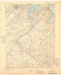
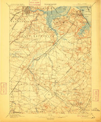
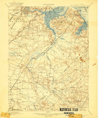
Editions of this 1901 New Brunswick Map
5 editions found

Other maps of this area

1888 · Plainfield
USGS Topo · 1:62,500

1888 · Bordentown
USGS Topo · 1:62,500

1888 · New Brunswick
USGS Topo · 1:62,500

1888 · Princeton
USGS Topo · 1:62,500

1888 · Asbury Park
USGS Topo · 1:62,500

1888 · Cassville
USGS Topo · 1:62,500

1888 · Sandy Hook
USGS Topo · 1:62,500

1891 · Somerville
USGS Topo · 1:62,500

1893 · Bordentown
USGS Topo · 1:62,500

1893 · New Brunswick
USGS Topo · 1:62,500