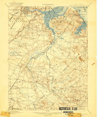
1901 Map of New Brunswick
USGS Topo · Published 1920About this map
The Raritan River defines the northern reaches of this coastal and inland corridor, where the maritime activity of South Amboy and the Great Beds L.H. meets the industrial and educational hub of New Brunswick. This survey, based on work from the mid-1880s, reveals a landscape intricately connected by the Pennsylvania Railroad (N. Y. Div.) and its several branches, including the Amboy Division. Small agricultural and milling outposts like Weston Mills, Spotswood, and Old Bridge are interspersed among a network of creeks and brooks that feed the Raritan Bay.
Find a feature on this map
95 named features on this map. Tap any name to fly to it.
Don’t see what you’re looking for? This feature index may not catch every label — zoom into the map to look around manually.
Map Details
Editions of this 1901 New Brunswick Map
5 editions found

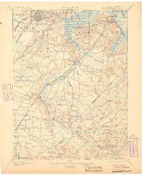
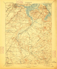
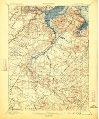
Other maps of this area

1888 · Plainfield
USGS Topo · 1:62,500

1888 · Bordentown
USGS Topo · 1:62,500

1888 · New Brunswick
USGS Topo · 1:62,500

1888 · Princeton
USGS Topo · 1:62,500

1888 · Asbury Park
USGS Topo · 1:62,500

1888 · Cassville
USGS Topo · 1:62,500

1888 · Sandy Hook
USGS Topo · 1:62,500

1891 · Somerville
USGS Topo · 1:62,500

1893 · Bordentown
USGS Topo · 1:62,500

1893 · New Brunswick
USGS Topo · 1:62,500