
1901 Map of New Brunswick
USGS Topo · Published 1901About this map
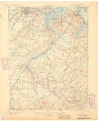
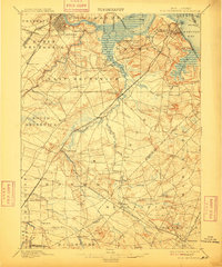
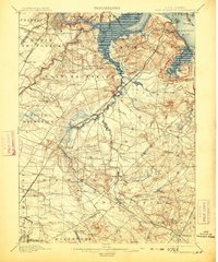
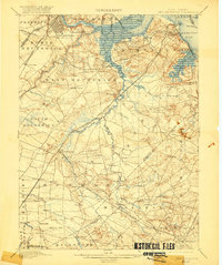
The industrial and agricultural corridors of Central New Jersey are captured here at the start of the 20th century. New Brunswick and South Amboy anchor the northern reaches, connected by the busy waterway of the Raritan River and the complex network of the Pennsylvania Railroad, including the Amboy Division. This survey illustrates a landscape in transition, where clay pits and factories near Sayreville and the Fireproof Building Co's R.R. meet the sprawling rural townships to the south. In the lower half of the sheet, the terrain shifts toward the historic Monmouth Battle Ground and the milling sites of Mounts Mills and Lafayette Mills. Smaller settlements like Helmetta, Jamesburg, and Englishtown dot the interior, revealing the importance of local rail junctions and early educational institutions like the State Reform School in shaping the region's development.
Find a feature on this map
102 named features on this map. Tap any name to fly to it.
Don’t see what you’re looking for? This feature index may not catch every label — zoom into the map to look around manually.
Map Details
Editions of this 1901 New Brunswick Map
5 editions found
Other maps of this area

1888 · Plainfield
USGS Topo · 1:62,500

1888 · Bordentown
USGS Topo · 1:62,500

1888 · New Brunswick
USGS Topo · 1:62,500

1888 · Princeton
USGS Topo · 1:62,500

1888 · Asbury Park
USGS Topo · 1:62,500

1888 · Cassville
USGS Topo · 1:62,500

1888 · Sandy Hook
USGS Topo · 1:62,500

1891 · Somerville
USGS Topo · 1:62,500

1893 · Bordentown
USGS Topo · 1:62,500

1893 · New Brunswick
USGS Topo · 1:62,500