
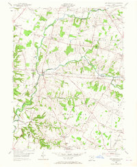
1955 Map of New Burlington
USGS Topo · Published 1956About this map
Caesar Creek and its complex of tributaries, including the Anderson Fork and Gurneyville Fork, carve through the landscape of Greene and Clinton Counties. This mid-century survey illustrates a rural society organized around crossroads settlements like Maple Corner and New Burlington, the latter sitting at a critical junction of waterways and county lines. The density of religious and funerary sites, such as the Zoar Ch (Cem) and Eleazer Ch (Cem), suggests deep-rooted community ties across Wayne and Chester townships.
Find a feature on this map
70 named features on this map. Tap any name to fly to it.
Don’t see what you’re looking for? This feature index may not catch every label — zoom into the map to look around manually.
Map Details
Editions of this 1955 New Burlington Map
2 editions found
Other maps of this area

1907 · Blanchester
USGS Topo · 1:62,500

1913 · Waynesville
USGS Topo · 1:62,500

1914 · Morrow
USGS Topo · 1:62,500

1915 · Waynesville
USGS Topo · 1:62,500

1916 · Morrow
USGS Topo · 1:62,500

1917 · Xenia
USGS Topo · 1:62,500

1947 · Columbus
USGS Topo · 1:250,000

1953 · Cincinnati
USGS Topo · 1:250,000
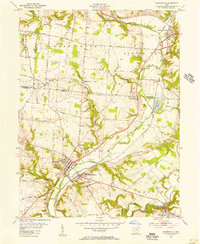
1955 · Waynesville
USGS Topo · 1:24,000
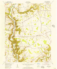
1955 · Oregonia
USGS Topo · 1:24,000