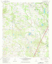
1980 Map of New Byram
USGS Topo · Published 1984About this map
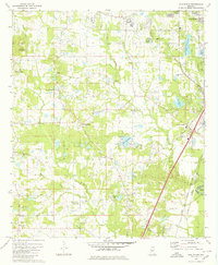
The Pearl River forms the eastern boundary of this Hinds County landscape, winding through Wansley Bend as it separates the region from Rankin County. During the late 1970s and early 1980s, the area around New Byram shows a mix of rural community life and industrial utility, anchored by the Illinois Central Gulf railroad. Local landmarks include the Raymond Lookout Tower and a prominent Fish Hatchery in the southwest. The geography is punctuated by numerous small bodies of water like Lake Catherine and Lake Wyndale, while community nodes are defined by several country churches, including Mt Salem Ch and Bethesda Ch. The presence of multiple Gravel Pits and a Sandpit near the river indicates the extractive industries active during this period of development south of Jackson.
Find a feature on this map
43 named features on this map. Tap any name to fly to it.
Don’t see what you’re looking for? This feature index may not catch every label — zoom into the map to look around manually.
Map Details
Editions of this 1980 New Byram Map
2 editions found
Other maps of this area

1903 · Jackson
USGS Topo · 1:125,000

1905 · Jackson
USGS Topo · 1:48,000

1906 · Florence
USGS Topo · 1:62,500

1908 · Jackson
USGS Topo · 1:62,500

1908 · Florence
USGS Topo · 1:62,500

1934 · Raymond
USGS Topo · 1:48,000

1937 · Raymond
USGS Topo · 1:62,500

1937 · Terry
USGS Topo · 1:48,000

1942 · Raymond
USGS Topo · 1:62,500

1943 · Terry
USGS Topo · 1:62,500