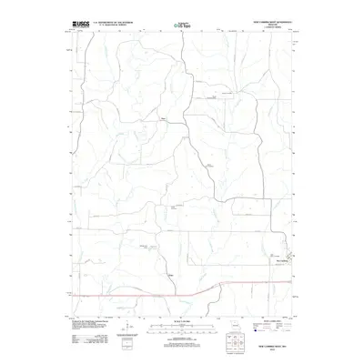
2012 Map of New Cambria West
USGS Topo · Published 2012About this map
New Cambria sits at the edge of this landscape where the eastern plains of Linn County begin to break into the drainage basins of central Missouri. The map records a series of rural communities including Lingo and Hart, which are connected by a network of named country roads such as Bison St and Brimstone Rd. This area is characterized by its numerous small-scale water systems, notably the Mussel Fork and Brush Creek which wind through the township.
Find a feature on this map
53 named features on this map. Tap any name to fly to it.
Don’t see what you’re looking for? This feature index may not catch every label — zoom into the map to look around manually.
Map Details
Editions of this 2012 New Cambria West Map
This is the sole edition of this map. No revisions or reprints were ever made.
Other maps of this area

1937 · Elmer
USGS Topo · 1:48,000

1942 · Elmer
USGS Topo · 1:62,500

1949 · Bucklin
USGS Topo · 1:24,000

1949 · Bucklin NW
USGS Topo · 1:24,000

1950 · Bucklin
USGS Topo · 1:24,000

1950 · New Cambria West
USGS Topo · 1:24,000

1950 · Bucklin NW
USGS Topo · 1:24,000

1951 · New Boston
USGS Topo · 1:24,000

1953 · Moberly
USGS Topo · 1:250,000

1953 · Marceline
USGS Topo · 1:24,000