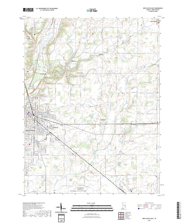
2022 Map of New Castle East
USGS Topo · Published 2022About this map
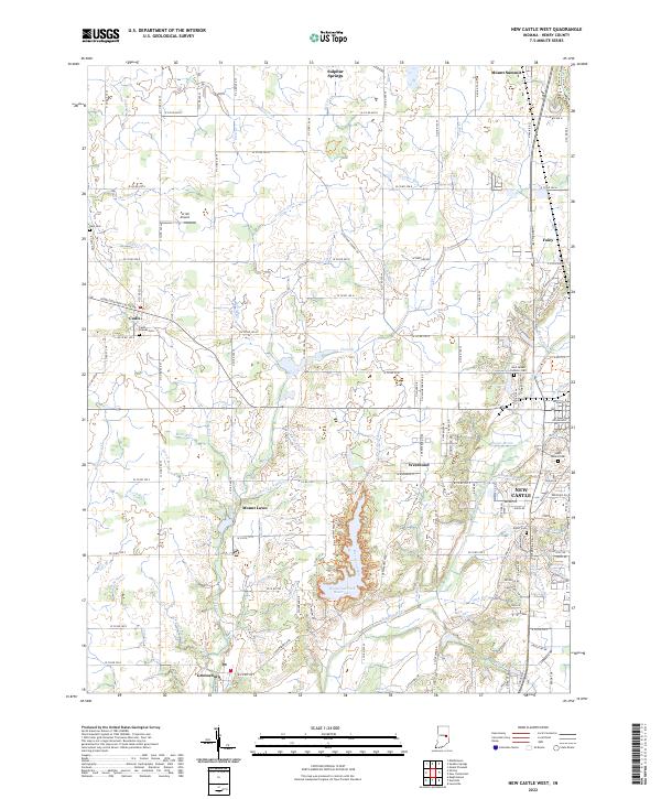
The urban core of New Castle anchor the southwest corner of this Henry County landscape, where the street grid transitions into a sprawling network of rural townships and farmsteads. To the east, the New Castle Henry County Airport Marlatt Field sits near several small unincorporated communities, including Ashland and Millville, which are connected by the historic E Dublin Pike. This 2022 survey documents a region defined by its hydrology, with the Big Blue River and Little Blue River carving through the western sections while the Flatrock River winds through the center.
Find a feature on this map
149 named features on this map. Tap any name to fly to it.
Don’t see what you’re looking for? This feature index may not catch every label — zoom into the map to look around manually.
Map Details
Editions of this 2022 New Castle East Map
This is the sole edition of this map. No revisions or reprints were ever made.
Historical Maps of Pierson Station Through Time
9 maps found
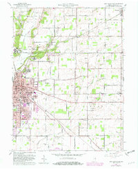
1949 New Castle West
Henry County, IN
1950 New Castle East
Henry County, IN
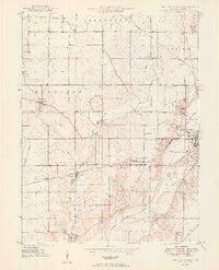
1960 Mount Pleasant
Henry County, IN
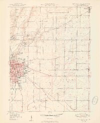
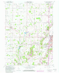
1960 New Castle East
Henry County, IN
1960 New Castle West
Henry County, IN
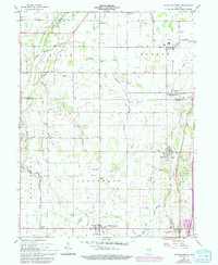
1960 Sulpher Springs
Henry County, IN
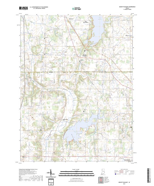
2022 Mount Pleasant
Henry County, IN
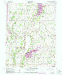
2022 New Castle East
Henry County, IN
2022 New Castle West
Henry County, IN