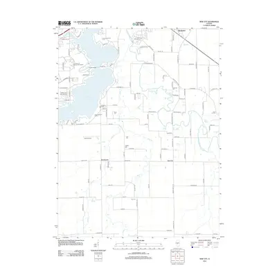
2012 Map of New City
USGS Topo · Published 2012About this map
The S Fork Sangamon River and its tributaries carve a winding path through the agricultural landscape southeast of Springfield. This 2012 survey illustrates the varied land use of the region, from the educational hub at the University of Illinois at Springfield to the quiet reaches of Lake Springfield. Along the western shoreline, the Lincoln Memorial Gardens and Lincoln Greens Golf Course provide established green spaces, while the Holmes Airport sits further south near Beamington. Local family and community history is preserved in several small burial grounds scattered throughout the rural townships, including Newcomer Cem, Vigal Cem, and Zion Cem. The settlement of Cotton Hill and the village of Rochester serve as anchors in a grid of roads like Chicken Bristle Rd and Possum Trot Rd that connect these farming communities.
Find a feature on this map
106 named features on this map. Tap any name to fly to it.
Don’t see what you’re looking for? This feature index may not catch every label — zoom into the map to look around manually.
Map Details
Editions of this 2012 New City Map
This is the sole edition of this map. No revisions or reprints were ever made.
Other maps of this area

1907 · Springfield
USGS Topo · 1:62,500

1922 · Divernon
USGS Topo · 1:62,500

1923 · Taylorville
USGS Topo · 1:62,500

1924 · Divernon
USGS Topo · 1:62,500

1925 · Taylorville
USGS Topo · 1:62,500

1930 · Springfield
USGS Topo · 1:62,500

1940 · Springfield
USGS Topo · 1:62,500

1950 · Springfield West
USGS Topo · 1:24,000

1950 · Springfield East
USGS Topo · 1:24,000

1954 · Mechanicsburg
USGS Topo · 1:62,500