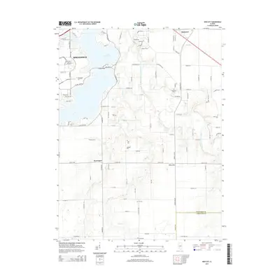
2015 Map of New City
USGS Topo · Published 2015About this map
Lake Springfield dominates the northwestern corner of this central Illinois landscape, its branching fingers reaching toward the educational campuses of Lincoln Land Community College and the University of Illinois at Springfield. The terrain transitions from these modern institutional developments to the rural agricultural lands of Sangamon and Christian counties. Smaller communities such as New City and Beamington anchor the southern plains, connected by a network of section roads like New City Road and the path of Old Route 66.
Find a feature on this map
98 named features on this map. Tap any name to fly to it.
Don’t see what you’re looking for? This feature index may not catch every label — zoom into the map to look around manually.
Map Details
Editions of this 2015 New City Map
This is the sole edition of this map. No revisions or reprints were ever made.
Other maps of this area

1907 · Springfield
USGS Topo · 1:62,500

1922 · Divernon
USGS Topo · 1:62,500

1923 · Taylorville
USGS Topo · 1:62,500

1924 · Divernon
USGS Topo · 1:62,500

1925 · Taylorville
USGS Topo · 1:62,500

1930 · Springfield
USGS Topo · 1:62,500

1940 · Springfield
USGS Topo · 1:62,500

1950 · Springfield West
USGS Topo · 1:24,000

1950 · Springfield East
USGS Topo · 1:24,000

1954 · Mechanicsburg
USGS Topo · 1:62,500