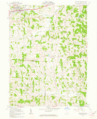
1961 Map of New Concord
USGS Topo · Published 1963About this map
New Concord serves as a major focal point in this early 1960s survey, defined largely by the campus of Muskingum College. The surrounding landscape is a complex network of narrow ridges and winding stream valleys like Crooked Creek and Dare Run, where agricultural land sits alongside emerging industrial activity. The presence of several Strip Mines and a Quarry indicates the extraction economy of the era, while a Pipeline and a 4 Lane highway expansion show modern infrastructure reaching into traditional rural areas.
Find a feature on this map
41 named features on this map. Tap any name to fly to it.
Don’t see what you’re looking for? This feature index may not catch every label — zoom into the map to look around manually.
Map Details
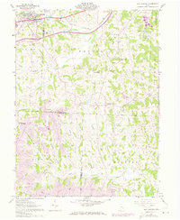
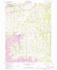
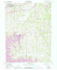
Editions of this 1961 New Concord Map
4 editions found
Other maps of this area

1908 · Conesville
USGS Topo · 1:62,500

1909 · Cambridge
USGS Topo · 1:62,500

1910 · Philo
USGS Topo · 1:62,500

1910 · Conesville
USGS Topo · 1:62,500

1911 · Cumberland
USGS Topo · 1:62,500

1912 · Cambridge
USGS Topo · 1:62,500

1949 · Clarksburg
USGS Topo · 1:250,000

1951 · Canton
USGS Topo · 1:250,000

1953 · Canton
USGS Topo · 1:250,000

1956 · Clarksburg
USGS Topo · 1:250,000