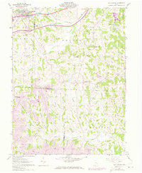
1961 Map of New Concord
USGS Topo · Published 1973About this map
Muskingum College anchors the northern edge of this Muskingum County landscape, where the academic grounds sit just north of the busy Baltimore and Ohio rail corridor and the historic U S 40. The terrain is defined by a dense network of streams including Crooked Creek and Yoker Creek, which carve through the townships of Westland and Union. This 1961 survey, updated in the early 1970s, captures a transition in transportation and land use as Interstate 70 cuts across the northern third of the map.
Find a feature on this map
38 named features on this map. Tap any name to fly to it.
Don’t see what you’re looking for? This feature index may not catch every label — zoom into the map to look around manually.
Map Details
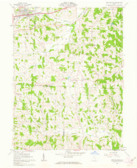
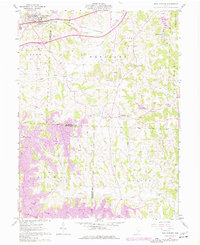
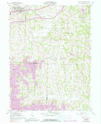
Editions of this 1961 New Concord Map
4 editions found
Other maps of this area

1908 · Conesville
USGS Topo · 1:62,500

1909 · Cambridge
USGS Topo · 1:62,500

1910 · Philo
USGS Topo · 1:62,500

1910 · Conesville
USGS Topo · 1:62,500

1911 · Cumberland
USGS Topo · 1:62,500

1912 · Cambridge
USGS Topo · 1:62,500

1949 · Clarksburg
USGS Topo · 1:250,000

1951 · Canton
USGS Topo · 1:250,000

1953 · Canton
USGS Topo · 1:250,000

1956 · Clarksburg
USGS Topo · 1:250,000