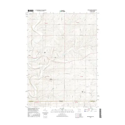
2016 Map of New Diggings
USGS Topo · Published 2016About this map
The settlement of New Diggings sits at the heart of this landscape, a place deeply shaped by its mineral history as evidenced by the Lead Mine located to the northwest near Etna. The terrain is defined by the winding course of the Galena River and its numerous tributaries, including Shullsburg Br and Diggins Cr, which carve through the borderlands between Lafayette County, Wisconsin, and Jo Daviess County, Illinois.
Find a feature on this map
64 named features on this map. Tap any name to fly to it.
Don’t see what you’re looking for? This feature index may not catch every label — zoom into the map to look around manually.
Map Details
Editions of this 2016 New Diggings Map
This is the sole edition of this map. No revisions or reprints were ever made.
Other maps of this area

1902 · Mineral Point
USGS Topo · 1:125,000

1911 · Elizabeth
USGS Topo · 1:62,500

1911 · Galena
USGS Topo · 1:62,500

1913 · Galena
USGS Topo · 1:62,500

1936 · Elizabeth
USGS Topo · 1:62,500

1952 · Shullsburg
USGS Topo · 1:24,000

1952 · Platteville
USGS Topo · 1:24,000

1952 · Calamine
USGS Topo · 1:24,000

1952 · Cuba City
USGS Topo · 1:24,000

1952 · Belmont
USGS Topo · 1:24,000