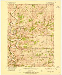
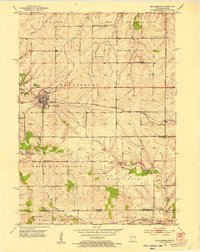
1952 Map of New Diggings
USGS Topo · Published 1954About this map
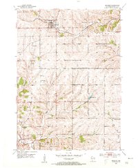
The Galena River carves through the driftless landscape of southwestern Wisconsin, revealing a terrain heavily shaped by a long history of lead and zinc extraction. At the time of this 1952 field check, the region around New Diggings and Benton is a mosaic of active and dormant industrial sites, with numerous Mine Dumps and Inactive Mines dotting the hillsides along the Shullsburg Branch. These operations, including the Blackstone Mine and Mocaby Mine, indicate the primary economic driver of the era.
Find a feature on this map
35 named features on this map. Tap any name to fly to it.
Don’t see what you’re looking for? This feature index may not catch every label — zoom into the map to look around manually.
Map Details
Editions of this 1952 New Diggings Map
This is the sole edition of this map. No revisions or reprints were ever made.
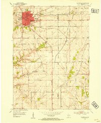
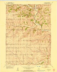
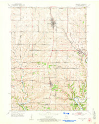
Other maps of this area

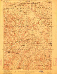
1902 · Mineral Point
USGS Topo · 1:125,000
1911 · Elizabeth
USGS Topo · 1:62,500

1911 · Galena
USGS Topo · 1:62,500
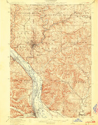
1913 · Galena
USGS Topo · 1:62,500
1936 · Elizabeth
USGS Topo · 1:62,500
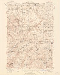
1952 · Shullsburg
USGS Topo · 1:24,000
1952 · Platteville
USGS Topo · 1:24,000
1952 · Calamine
USGS Topo · 1:24,000
1952 · Cuba City
USGS Topo · 1:24,000
1952 · Belmont
USGS Topo · 1:24,000