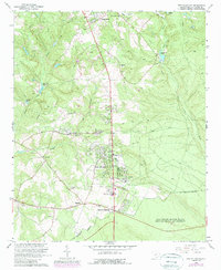
1965 Map of New Ellenton
USGS Topo · Published 1989About this map
The Savannah River Plant (Department of Energy) occupies the southern reaches of this landscape, marking a period of significant federal land use and industrial presence in Aiken County. Established in cooperation with the Atomic Energy Commission, the survey reveals a transition from traditional rural settlements to residential developments like College Acres and New Ellenton. The terrain is defined by complex water systems, including Hollow Creek and the Dry Branch, alongside man-made impoundments such as Anderson Millpond and Kimball Pond. Local history and genealogy are well-represented through numerous rural congregations and burying grounds, including Mt Anna Missionary Ch, Zionfield Ch, and the Berry Cem. The presence of several Claypit and Sandpit sites suggests the importance of extractive industries in the local economy during the mid-20th century.
Find a feature on this map
40 named features on this map. Tap any name to fly to it.
Don’t see what you’re looking for? This feature index may not catch every label — zoom into the map to look around manually.
Map Details
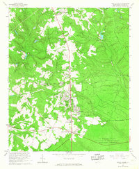
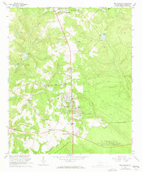
Editions of this 1965 New Ellenton Map
3 editions found
Other maps of this area

1920 · Aiken
USGS Topo · 1:48,000

1920 · Talatha
USGS Topo · 1:48,000

1921 · Augusta
USGS Topo · 1:62,500

1921 · Aiken
USGS Topo · 1:62,500

1921 · Talatha
USGS Topo · 1:62,500

1923 · Warrenville
USGS Topo · 1:48,000

1928 · Warrenville
USGS Topo · 1:62,500

1943 · Aiken
USGS Topo · 1:62,500

1943 · Augusta East
USGS Topo · 1:125,000

1943 · Warrenville
USGS Topo · 1:62,500