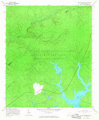
1963 Map of New Ellenton SE
USGS Topo · Published 1967About this map
The U S Reservation Savannah River Plant dominates this mid-century landscape, illustrating the massive scale of the Atomic Energy Commission operations in South Carolina. Managed by the Commission and mapped with topography enlarged from previous AEC surveys, the area is characterized by a complex network of artificial water bodies and drainage basins essential to the plant's industrial cooling needs. Significant water features include the sprawling Par Pond and several numbered impoundments such as Pond 4 and Pond 5, which are integrated into the existing drainage of Tinker Creek and Mill Creek. This period of mapping shows the land after the displacement of former residents, where natural features like Reedy Branch were transformed into a secure industrial buffer. The boundary between Aiken and Barnwell counties crosses the northern portion of the site near Kennedys Pond, marking a transition from traditional rural terrain to a restricted federal zone.
Find a feature on this map
14 named features on this map. Tap any name to fly to it.
Don’t see what you’re looking for? This feature index may not catch every label — zoom into the map to look around manually.
Map Details
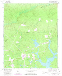
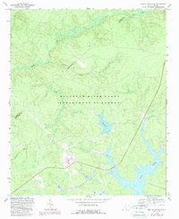
Editions of this 1963 New Ellenton SE Map
3 editions found
Other maps of this area

1919 · Allendale
USGS Topo · 1:62,500

1920 · Ellenton
USGS Topo · 1:48,000

1920 · Talatha
USGS Topo · 1:48,000

1921 · Talatha
USGS Topo · 1:62,500

1921 · Ellenton
USGS Topo · 1:62,500

1923 · Williston
USGS Topo · 1:48,000

1927 · Williston
USGS Topo · 1:62,500

1943 · Allendale
USGS Topo · 1:62,500

1943 · Augusta East
USGS Topo · 1:125,000

1943 · Williston
USGS Topo · 1:62,500