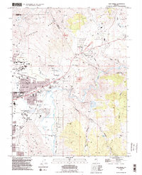
1994 Map of New Empire
USGS Topo · Published 1994About this map
The Nevada State Prison sits at the foot of Prison Hill in this mid-1990s look at the eastern edge of the state capital. The landscape reveals a complex history of industrial extraction and water management, where the Carson River winds past the Old Mexican Mill and is paralleled by the historic Mexican Ditch. Heavy industry and mining define the northern and eastern reaches, evidenced by the Strip Mine near the Mound House (Site) and various gravel pits and quarries scattered through the Virginia Range.
Find a feature on this map
69 named features on this map. Tap any name to fly to it.
Don’t see what you’re looking for? This feature index may not catch every label — zoom into the map to look around manually.
Map Details
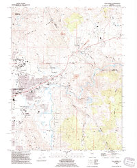
Editions of this 1994 New Empire Map
2 editions found
Other maps of this area

1891 · Carson
USGS Topo · 1:125,000

1893 · Carson
USGS Topo · 1:125,000

1950 · Virginia City
USGS Topo · 1:62,500

1950 · Mt. Rose
USGS Topo · 1:62,500

1952 · Mt. Rose
USGS Topo · 1:62,500

1952 · Virginia City
USGS Topo · 1:62,500

1956 · Dayton
USGS Topo · 1:62,500

1956 · Carson City
USGS Topo · 1:62,500

1957 · Reno
USGS Topo · 1:250,000

1959 · Reno
USGS Topo · 1:250,000