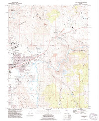
1994 Map of New Empire
USGS Topo · Published 1994About this map
The Virginia Range and Eagle Valley meet at this industrial and institutional crossroads on the outskirts of Carson City. The map reveals the heavy footprint of resource extraction and infrastructure that shaped this landscape, dominated by the Nevada State Prison and the historical remnants of the Old Mexican Mill. The geography of utility is evident through the Brunswick Substa, a sewage treatment plant, and a series of pits, gravel pits, and mines that dot the hillsides.
Find a feature on this map
63 named features on this map. Tap any name to fly to it.
Don’t see what you’re looking for? This feature index may not catch every label — zoom into the map to look around manually.
Map Details
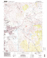
Editions of this 1994 New Empire Map
2 editions found
Other maps of this area

1891 · Carson
USGS Topo · 1:125,000

1893 · Carson
USGS Topo · 1:125,000

1950 · Virginia City
USGS Topo · 1:62,500

1950 · Mt. Rose
USGS Topo · 1:62,500

1952 · Mt. Rose
USGS Topo · 1:62,500

1952 · Virginia City
USGS Topo · 1:62,500

1956 · Dayton
USGS Topo · 1:62,500

1956 · Carson City
USGS Topo · 1:62,500

1957 · Reno
USGS Topo · 1:250,000

1959 · Reno
USGS Topo · 1:250,000