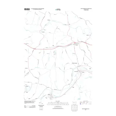
2013 Map of New Florence
USGS Topo · Published 2013About this map
The Beuna Vista Iron Furnace stands as a significant industrial landmark along Blacklick Cr, marking a region defined by its river valleys and early manufacturing roots. This 2013 survey of the Indiana County area captures the complex topography between the Conemaugh River and the northern coal-and-iron country. The settlement pattern is dense along the southern river corridor, where New Florence, Seward, and Hooverville form a nearly continuous residential and industrial string.
Find a feature on this map
101 named features on this map. Tap any name to fly to it.
Don’t see what you’re looking for? This feature index may not catch every label — zoom into the map to look around manually.
Map Details
Editions of this 2013 New Florence Map
This is the sole edition of this map. No revisions or reprints were ever made.
Other maps of this area

1902 · Indiana
USGS Topo · 1:62,500

1902 · Barnesboro
USGS Topo · 1:62,500

1904 · Barnesboro
USGS Topo · 1:62,500

1904 · Johnstown
USGS Topo · 1:62,500

1907 · Johnstown
USGS Topo · 1:62,500

1920 · New Florence
USGS Topo · 1:62,500

1921 · New Florence
USGS Topo · 1:48,000

1922 · New Florence
USGS Topo · 1:62,500

1943 · Punxsutawney
USGS Topo · 1:125,000

1944 · New Florence
USGS Topo · 1:62,500