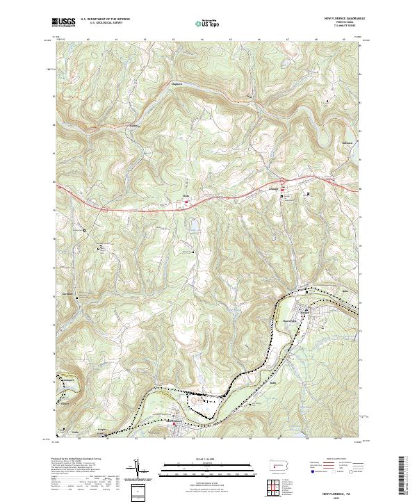
2023 Map of New Florence
USGS Topo · Published 2023About this map
Blacklick Creek and the Conemaugh River carve deep valleys through this portion of the Pennsylvania countryside, dictating the development of local transport and industry. The winding Ghost Town Trl follows the old rail corridor through Heshbon and Dilltown, tracing the legacy of the region's coal and iron history. On the high ground, the borough of Armagh sits at a crossroads, surrounded by significant genealogical sites such as the Armagh Old Presbyterian Cem and Armagh Cem.
Find a feature on this map
110 named features on this map. Tap any name to fly to it.
Don’t see what you’re looking for? This feature index may not catch every label — zoom into the map to look around manually.
Map Details
Editions of this 2023 New Florence Map
This is the sole edition of this map. No revisions or reprints were ever made.
Other maps of this area

1902 · Indiana
USGS Topo · 1:62,500

1902 · Barnesboro
USGS Topo · 1:62,500

1904 · Barnesboro
USGS Topo · 1:62,500

1904 · Johnstown
USGS Topo · 1:62,500

1907 · Johnstown
USGS Topo · 1:62,500

1920 · New Florence
USGS Topo · 1:62,500

1921 · New Florence
USGS Topo · 1:48,000

1922 · New Florence
USGS Topo · 1:62,500

1943 · Punxsutawney
USGS Topo · 1:125,000

1944 · New Florence
USGS Topo · 1:62,500